Up to date, accurate and detailed measured survey and mapping data products and services are increasingly required to facilitate the efficient development and operation of today’s-built environment. ECSL offers a comprehensive range of products and services designed to meet the needs and challenges of all sectors working to enhance the built environment.
We have a network of Geomatics professionals in UK & India that we call upon to support any Geomatics. requirement, wherever it may be. Our core competencies are:
• Project Management
• Specification development
• Supply chain management
• QA process development
• Independent QA
• Topographic Surveys
• Boreholes and slit trenches
• Geotechnical Investigation
• Earthworks Examination
• GPR and CAT scan Surveys
• Volumetric Surveys
• Track bend Investigation
• Track and Gauging Surveys
• Overhead Powerline Survey
• OLE heights and staggers Surveys
• Drainage and underground surveys
• Asset Condition Surveys
• Specification and commissioning of stereo metric aerial
image capture (from 2cm GSD) and LiDAR data capture
(Aerial, mobile and static)
• Photo/LiDAR control survey
• Aerial triangulation
• Classification of point clouds
• Stereo digitisation from imagery and vectorisation of point
clouds (3D map production)
• Topographic mapping
• Technical infrastructure mapping
• Asset and as built mapping
• DSM/DEM/DTM production
• Orthophoto production
• 3D modelling and visualisation
• Terrestrial photogrammetry
• Transportation planning and management; Railways, Highways
and Airports
• Structures and buildings; Bridge Investigation and Examination
• Utility planning and management; Asset Mapping for Water, Nuclear, Electricity,
Communications
• Geotechnical and Engineering Geology
• Coastal, Rivers and Environmental management
• Land development
• National mapping database update and maintenance
• Scan to BIM
• Heritage and Conservation
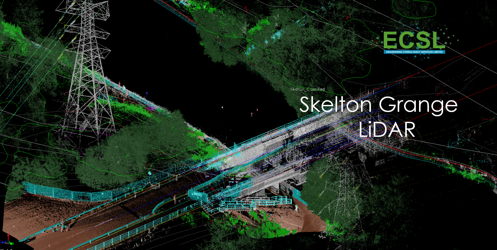
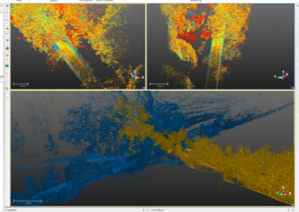
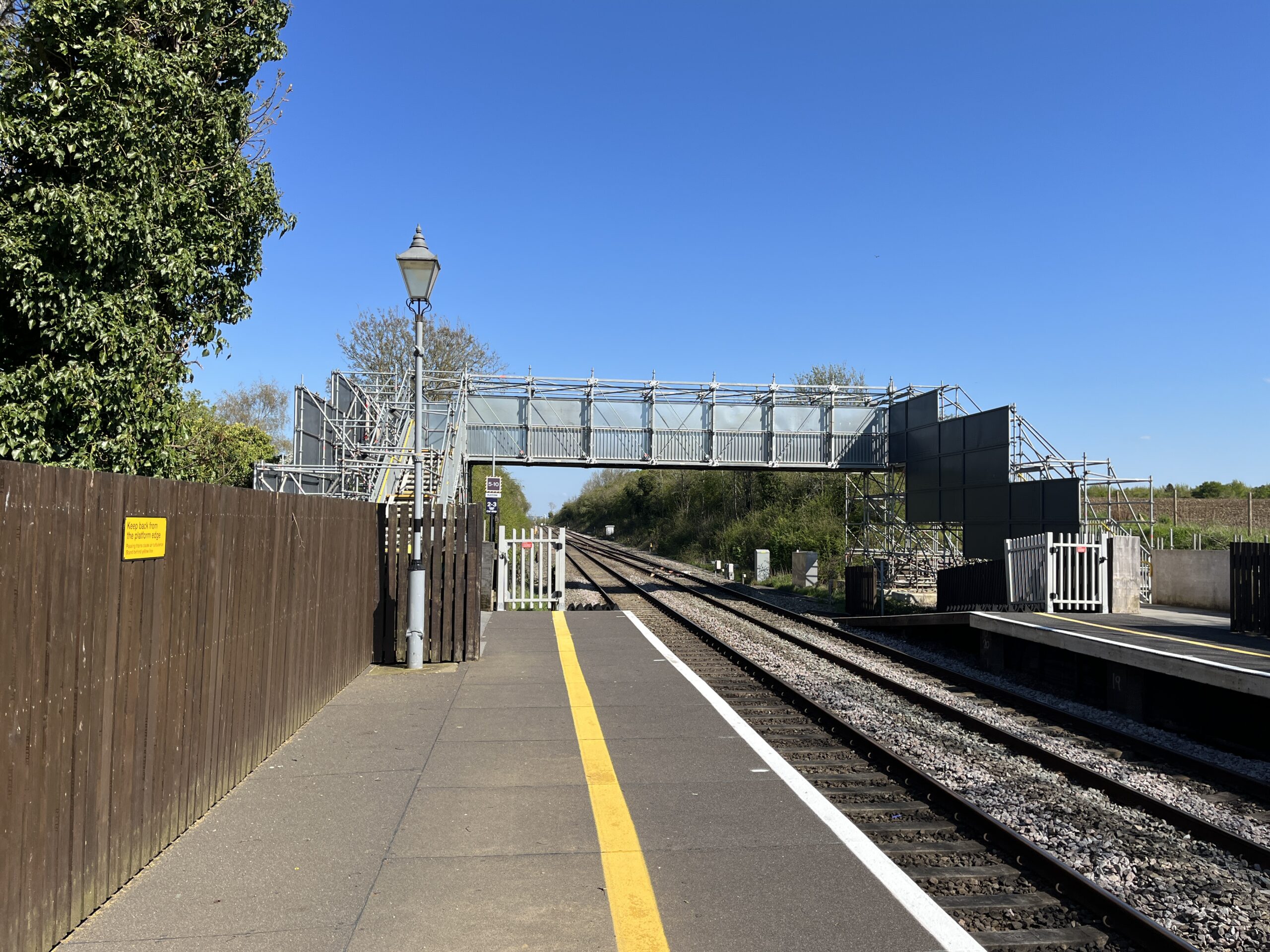
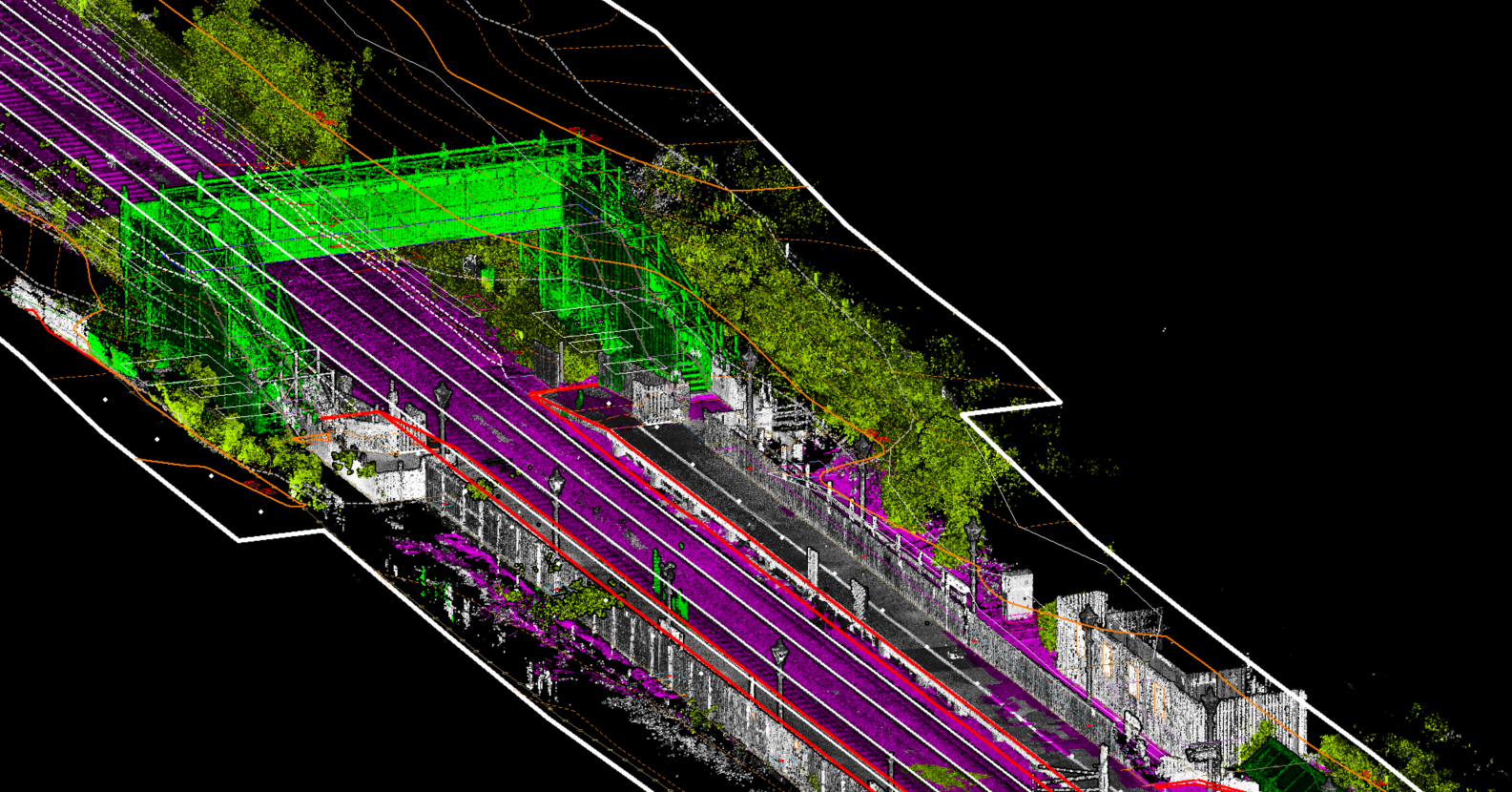
ECSL has decades of experience in providing market leading Geomatics products and services to the transportation, utilities, development, local authority, government, and heritage markets amongst others. We have worked with major clients such as the Network Rail, SPL, Taziker and RITES on many projects where we have pushed the capabilities of Geomatics technology to new levels of accuracy and accessibility, providing significant benefits including increased levels of detail and accuracy whilst reducing site working requirements and lowering H&S risks resulting in cost savings.